 vesseltracker.com
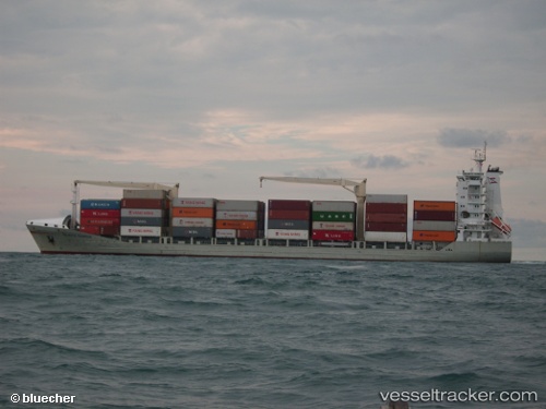
Vessel MSC Andrea F IMO: 9306275, MMSI: 636019887 Container Ship
UTC, 21.71243, 88.03064, course: 265, speed: 0.2
UTC, 21.71332, 88.02901, course: 212, speed: 0
2026-01-30 01:37:00 UTC, 21.71289, 88.02948, course: 243, speed: 0.1
Live AIS position:
UTC. 16 nm E of Contai),
updated 2026-01-30 01:37:00 UTC.
Find the position of the vessel MSC Andrea F on the map. The latter are known coordinates and path.
marine traffic ship tracker show on live map
The current position of vessel MSC Andrea F is 21.71289 lat / 88.02948 lng. Updated: 2026-01-30 01:37:00 UTCCurrently sailing under the flag of Liberia
Details:
Last coordinates of the vessel:
UTC, 21.71050, 88.02935, course: 12, speed: 0.1UTC, 21.71243, 88.03064, course: 265, speed: 0.2
UTC, 21.71332, 88.02901, course: 212, speed: 0
2026-01-30 01:37:00 UTC, 21.71289, 88.02948, course: 243, speed: 0.1